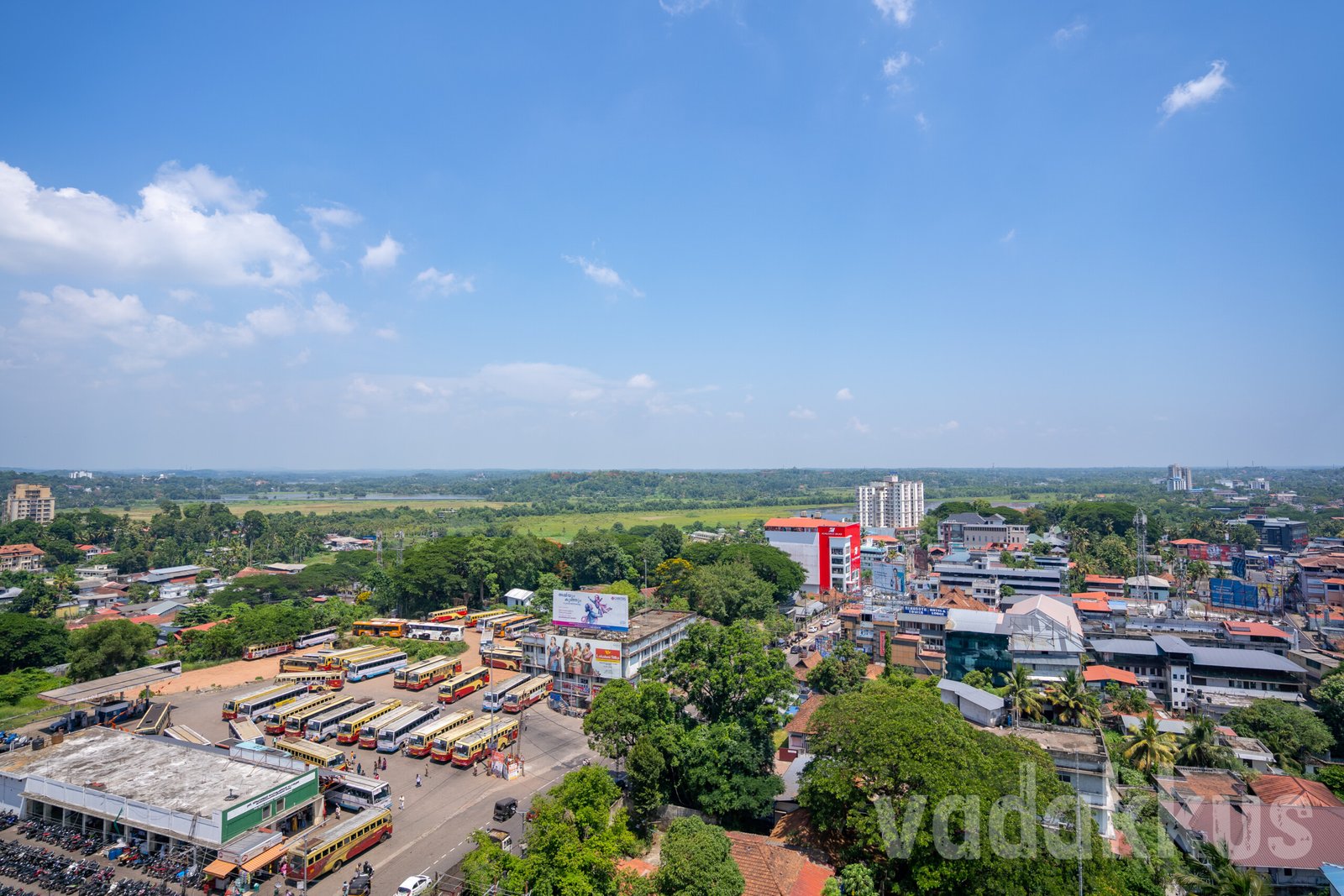
An Aerial View of Kottayam Town Looking Southwards
An aerial view of Kottayam town at its southern end seen from the top of the Arcadia Hotel. You can see the KSRTC bus stand and depot with all the buses parked like toothpaste boxes, the Kalyan silks building, the TB Road and beyond towards Nattakom. Closer to the horizon you can see the marshes and wetlands that surround Kottayam.
The town that is Kottayam today has historically been a fort (“Kotta”) on a hill surrounded by smaller hills which were surrounded by sprawling paddies and marshes to the south, waterways, paddy fields and canals to the west, more marshes and jungle to the north and rolling hills to the east, with the Meenachil – Kodoor river system feeding the water wetlands. Most of it still remains unchanged as you can see vast expanses of water over the horizon from Eerayil Kadavu on the left to Kodimatha on the right.
Image EXIF Data
- Camera: SONY ILCE-7C
- Aperture: ƒ/3.2
- Shutter Speed: 1/4000s
- ISO: 100
- Focal Length: 17mm
- Date Taken: May 10, 2025 13:26:35
- Exposure Program: Aperture Priority