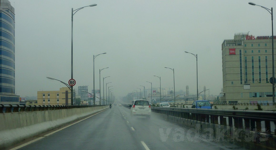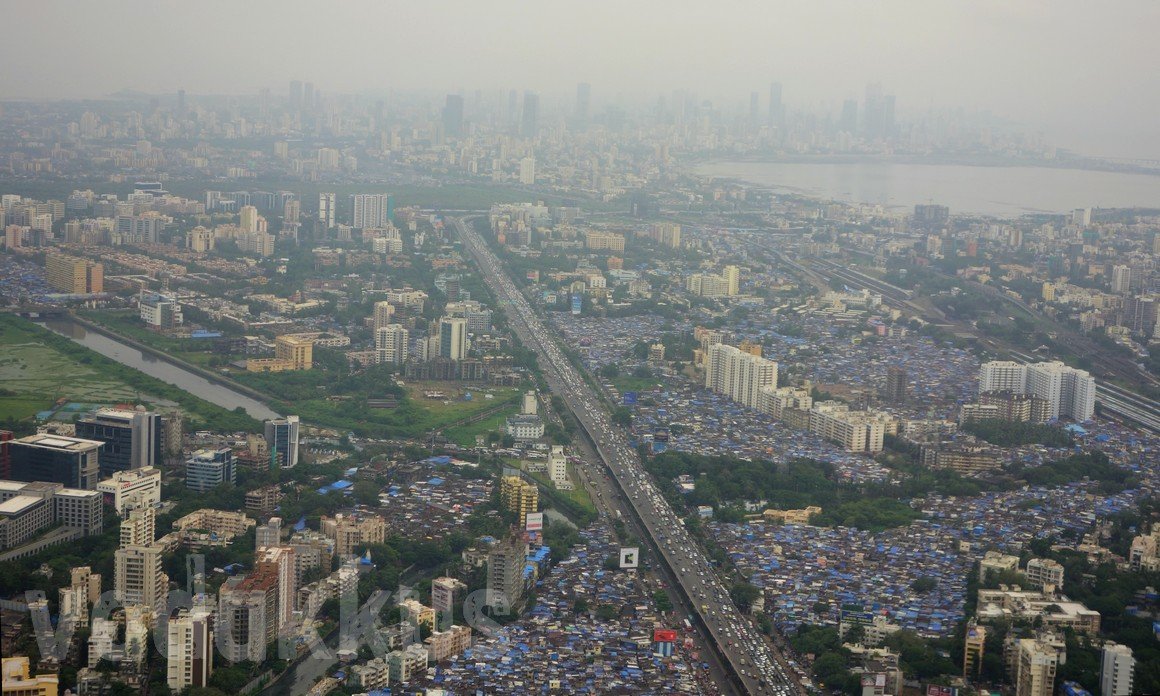
Aerial (Pollution) Photo of Mumbai over Vakola to Bandra and Beyond
Aerial view of parts of Mumbai from Santacruz, Vakola and Khar to Bandra and beyond to Dharavi and Matunga. The road in the middle in the Western Express Highway with the Kalina-Vakola flyover on which vehicles are standed for as far as ones eye can see. The highway turns right after Bandra and continues along the Mahim Bay, the water body on the top right, and then over the Sea Link. The Western Railway line and Khar railway station can be seen on the right and then far ahead, Bandra and Bandra Terminus. The skyscrapers on the right bottom are Vakola and Santacruz East, while the slums are all Khar East. The buildings obscured by smog far ahead are probably Matunda, Dharavi and Prabhadevi. This photo shows urban blight, with traffic jams, congestion, heavy pollution, slums with skyscrapers rising out of them and dirty water bodies all in one. Especially the air, it looks so dirty just to look at, I can’t even imagine breathing it. But we all do, everyday. You can find the places in the map here.
Image EXIF Data
- Camera: SONY DSC-RX100
- Aperture: ƒ/3.5
- Shutter Speed: 1/160s
- ISO: 125
- Focal Length: 21mm
- Date Taken: Sep 15, 2015 18:22:53
- Exposure Program: Aperture Priority